Oregon Road & Recreation Atlas
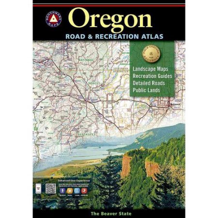
This atlas is your best bet for avoiding wash-outs an hour into a dualsport ride, or finding the next Aufderheide to carve. You can descend Hells Canyon and cross the Beaver State to twist the Three Sisters while knowing a camping spot or side road is just a page turn away.
Has an online map sent your sportbike down a muddy trail? Does your GPS ask you to turn left into cliff faces? If you want more details in your directions, look no further. Benchmark Maps’ Road and Recreation Atlases are as good as maps get, with scales that folding maps can’t touch. Information is only as useful as it is accurate, and these field-checked maps are updated regularly – every 3-5 years. Whether you’re looking to avoid gravel or go play in the dirt, you’ll appreciate clear delineations between paved, gravel and the more challenging 4WD roads, as well as GPS grids for when you’re well and truly lost … err, “exploring”. In addition to climate information and recreation guides, each atlas features extensive listings of attractions, camping areas and even hunting regions. These atlases don’t just tell you where you are, they help you decide where you want to be. Compared to Delorme, Rand McNally and others … there’s simply no comparison.
We Also Recommend